
Finding Corcoran Neighbors by Block
Looking up neighbors around a Corcoran address is a record-matching task, not a single open name list. The Kings County Assessor Parcel Web Map gives a free spatial start: locate the parcel, read the primary situs and APN, then inspect parcels that touch or face it. The assessor's fuller ownership and mailing fields sit behind a counter or paid access, while the recorder's current land index is no longer online. Voter data are private or purpose-restricted. Community groups add public contacts, not member names. A useful block result says which custodian answered each question and what the record cannot prove.
| Source | What It Shows About a Block | Access |
|---|---|---|
| Kings parcel web map | Parcel polygons, primary situs, APNs, and geographic layers | Free weekly map; popup omits owners |
| Kings Assessor property roll | Current value, parcel identity, and richer ownership or mailing fields | Free APN/address search; paid or counter ownership data |
| Kings Clerk/Recorder | Recorded parties, legal descriptions, transfer dates, and deed-chain clues | Counter index and microfilm; Internet land index disabled |
| Corcoran permits and code files | Address-specific project, applicant, inspection, notice, or case history | City request or counter; redactions may apply |
| California voter records | One voter's own status, or approved-use registration data | Private self-lookup or restricted file request |
| Community organizations | Public civic contacts and event leads, not household membership | City directory; no member roster verified |
These sources describe different roles. A tax or deed result may tie an owner to a parcel, but it does not establish that the owner sleeps there. A mailing address can be a post office box, business, trustee, representative, or former address. People who do not own the parcel and other household members can be absent from every public source. A community contact identifies an organization, not the people who attend it.
- APN
- An assessor parcel number, used to keep one parcel distinct from nearby addresses or people with the same name.
- Situs
- The physical property location shown by the assessment record, separate from the address used for tax mail.
- Mailing address
- The destination for tax correspondence, which may be a post office box, business, trustee, representative, or former address.
Map Corcoran Neighbors From One Address
The official Kings County ArcGIS parcel map supports a manual adjacent-parcel method. Search or zoom to the target address, click its polygon, and record the APN and primary situs shown in the popup. Then click the polygons touching or facing the target and repeat through the block. The popup is a map key, not an owner lookup.
One address → adjacent parcels → APNs → assessor and recorder records
- Open the official map and search or pan to the Corcoran address. Keep the exact street text and the target parcel visible.
- Click the target polygon. Write down its primary situs and APN, then click each parcel that touches or faces it.
- Repeat the clicks around the desired block. Treat each APN as a separate record key, even when street numbers look alike.
- Carry the APNs to the assessor counter or subscription, then to the recorder counter when a title-chain question remains.
The map can add city and community boundaries, sphere of influence, streets, zoning, general-plan, school, irrigation, reclamation, and supervisorial layers. For the whole named street and its full address chain, use the Corcoran street directory workflow rather than stretching a block map beyond its purpose.
Corcoran's Weekly Neighbor Map Popup
A useful Corcoran quirk is also a firm limit: the free parcel map is updated weekly, yet its basic popup supplies only the primary situs and APN. It does not reveal an owner name, mailing address, occupancy, or a list of people nearby. That narrow output is enough to build a clean parcel set before a request, and it reduces the risk of mixing two same-street records.
| Parcel and address | Parcel geometry, APN, and primary situs context |
|---|---|
| Street and boundary | Streets, city or community boundaries, and sphere of influence |
| Planning | Zoning, general plan, township and range |
| Districts | School, irrigation, reclamation, and supervisorial districts |
| Overlays | Airport, septic, electric, FEMA flood, and fire-hazard layers |
Those layers add geography, not residents. Parcel lines are assessment representations, not surveys or legal boundaries. A layer can help decide whether a nearby property is inside Corcoran or in a surrounding county service area, but it cannot prove who occupies a structure.
Corcoran Neighbor Ownership Records From APNs
The Kings County Assessor property search accepts an APN or street address for free current-roll information. A vacant parcel may need an APN because it lacks a usable situs. Current ownership, ownership history, transfer history, exemptions, physical characteristics, legal description, situs, and tax values are richer counter or subscription fields. A dated schedule lists $100 for 600 hits per year, $600 for unlimited use, and $60 for an added user, so confirm the current terms before relying on those prices.
For a title question, the Kings County Clerk/Recorder is at 1400 W. Lacey Blvd. in Hanford, open Monday through Friday from 8 a.m. to 5 p.m. The Assessor can be reached at 559-852-2486 and the Recorder at 559-852-2470. Kings says recorded real-estate records and related indexes are no longer available over the Internet. Call before travel, then use the counter index and microfilm.
For a Corcoran permit or code file, send a precise address, APN, record type, and date span through the Corcoran public-record request form. The form shows a $0.20 per-page copy charge and a determination within ten days. It is a request channel, not a searchable city name index.
Corcoran Building/Safety places its permit counter at City Hall, 832 Whitley Avenue, with representative hours Monday through Friday from 8 to 11 a.m. and 1 to 4 p.m. The Building Official is available by appointment; inspection requests are due by 7 a.m., with inspections on Tuesday and Thursday. Ask for the permit jacket by exact address or APN and request the owner or applicant, contractor, project description, issue or final dates, and inspection history, recognizing that redactions can apply.
Current instruments carry APNs, but the recorder's index start and microfilm coverage dates are not published. A current master copy schedule lists $3 for the first page, $0.50 for each additional page, and $1 for certification. Verify the adopted schedule and ask whether the requested image is available before sending payment.
Corcoran Block Radius Map Check
Manual parcel clicking is the documented public way to inspect immediate Corcoran neighbors. No public buffer or radius tool was verified. Kings County does offer custom radius maps, but the research found conflicting fee references of $35 and $44. Treat both as leads, not a final price. Ask the county for the latest fee, the map date, the center address, and the exact layers included before paying.
A block and a radius answer different questions. A block follows touching or facing parcels and street form. A radius draws a distance around a point and may cross a city boundary, a sphere of influence, or a service district. The GIS layers can show those geography lines, but they do not turn a circle into an occupant list. Keep the APN set and the date of the map with any later assessor or recorder request.
Corcoran's Voter Status, Not a Neighbor Directory
California My Voter Status is an authenticated self-lookup. It asks for first name, last name, birth month, day and year, California driver-license or identification-card number, and the last four Social Security number digits. A match can return that voter's status, party preference, registration address, precinct, polling or vote center, vote-by-mail details, and ballot-status information. It is not a public street or neighbor search.
The official California voter-file request instructions describe a different channel. An applicant must identify the requester, organization, geography, data and media, permitted-use category, people with access, nondistribution agreement, signature, date, supporting documentation, and payment. The current fee and media wording were not verified. Neighbor curiosity does not become an approved purpose merely because the requested addresses share a block.
The file request page can look like a path to geographic names, but Elections Code §2194 keeps affidavit information confidential except for approved election, scholarly, journalistic, political, or governmental purposes. Driver-license or ID numbers, Social Security numbers, and signatures are never released. Safe at Home and other protected-address rules can withhold residences even in an authorized channel.
For a Corcoran block, use the parcel map for geography. Use My Voter Status only for the person who is authenticating, and do not treat a no-match as proof that an address has no voter or resident.
The voter-record capture below illustrates why the private self-check and the restricted file request must stay separate. California's voter-file request page sets out the permitted-use path and its signed application requirements.
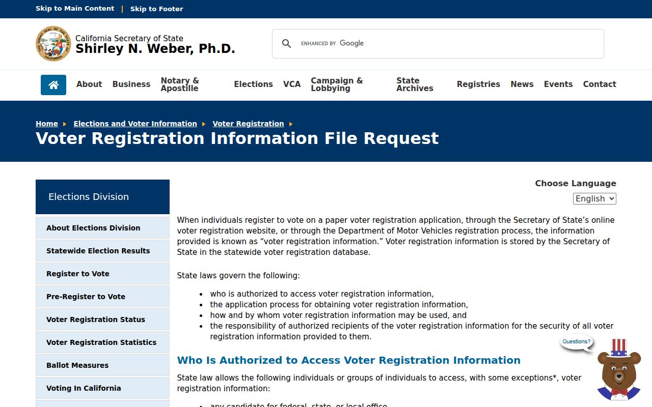
The image belongs beside the access rule, not beside a promise of a public block list. It reinforces that geographic voter data require a lawful, documented purpose.
The text of California Elections Code §2194 identifies the confidentiality and permitted-use boundary for voter records.
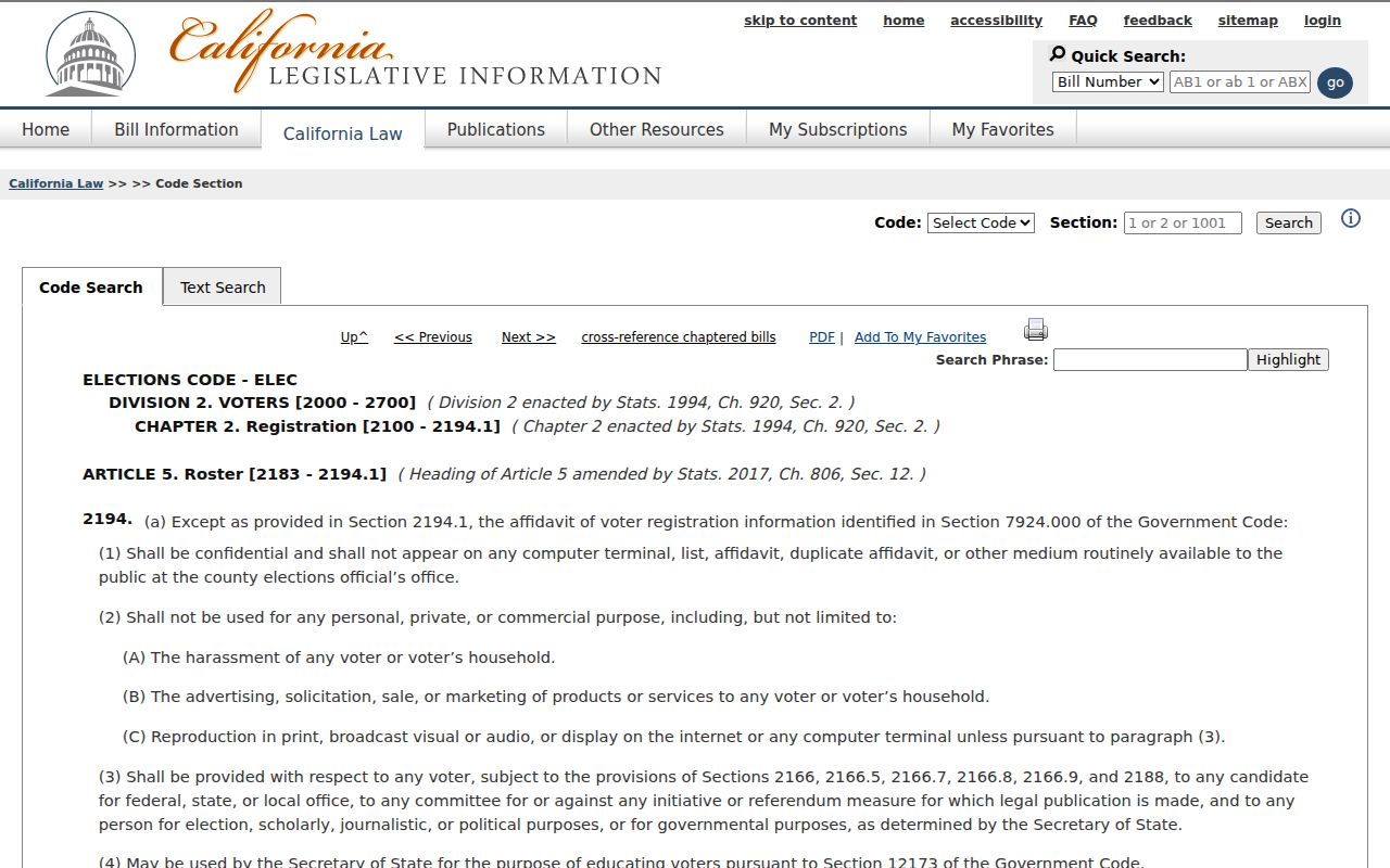
That legal boundary keeps an official voter record from becoming a casual neighbor directory for Corcoran streets.
Corcoran Community Contacts, Not Member Rosters
The City of Corcoran community directory is a public contact layer. It names the Chamber, 4-H, 50/50 Club, Scouts, Kiwanis, Knights of Columbus, Lions, Optimist, Police Activities League, CASA, Relay for Life, Rotary, Veterans Outreach, and RAC. The city lists Lisa Shaw for the Chamber at 559-992-4514. Those entries can point to civic events, service work, or a public contact, but they do not disclose membership or establish that a person lives on a nearby block.
The same caution applies to Neighborhood Watch. Research identifies it as a police or community contact layer, not a resident roster. No official HOA or neighborhood-association member directory was located. Ask an organization directly about a voluntary public contact instead of inferring a private membership from a parcel, surname, or event photograph.
Corcoran's community organizations and events directory is the source for the public organization list.
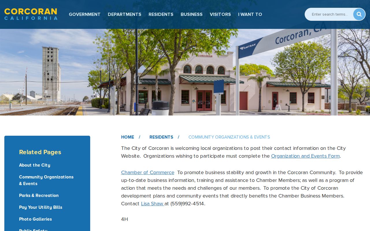
The image shows the kind of civic lead that belongs in a neighbor search: a public organization contact, never an implied list of people.
Corcoran Chamber
Public city listing names Lisa Shaw.
559-992-4514
Contact lead only; no member directory verified.
Civic and service groups
4-H, 50/50 Club, Scouts, Kiwanis, Knights of Columbus, Lions, Optimist, Rotary, Veterans Outreach, and RAC.
Organization names do not identify members.
Youth and cause contacts
Police Activities League, CASA, Relay for Life, and Neighborhood Watch contact channels.
No roster or household list was verified.
Corcoran Recorder Count, Not Deed Search
Corcoran neighbors can be affected by a records change that sounds more open than it is. Kings Recorder's new system entered production on April 8, 2024, and electronic-recording agreements were completed in August 2024. About 70 to 80 percent of monthly instruments were e-recorded. The county's 2024 report counted 21,388 recorded documents, including 3,968 deeds and 3,200 deeds of trust.
Those numbers describe digital intake and county workload, not a public online deed index. Internet access to real-estate records and related indexes remains disabled. The counter, microfilm, assessor subscription, and APN-based map are still different steps. County preservation work also protected original government books from county creation through 1977, but preservation does not promise that every title image or neighbor name is remotely searchable.
Official Corcoran Block Evidence Compared
Official records carry a named custodian, a record date, and an access rule. Commercial neighbor compilations combine public filings with other data, may merge people with similar names, and can lag behind a move or correction. They are not a substitute for an APN, a recorder document number, or a direct agency response.
| Source type | Useful evidence | Not established |
|---|---|---|
| GIS map | Parcel shape, situs, APN, and geography | Owner, occupant, or household |
| Assessor or recorder | Ownership, mailing, transfer, and legal-document links | Every person living there |
| Authorized voter file | Permitted registration and precinct data | Open neighbor browsing |
| Community directory | Public organization and contact lead | Membership or residence |
| Commercial compilation | Possible lead requiring verification | Official proof or complete coverage |
Keep the map date, APN, document number, and source URL with each note. A second independent key, such as a legal description or case number, helps avoid same-name errors. If a record is wrong, ask the custodian to correct the precise field. A narrow Corcoran public-record request can seek a known permit or code file, but the California Public Records Act cannot require creation of a new resident list.
Privacy Limits on Corcoran Neighbors
A block map does not reveal every person at every door. Owners can live elsewhere. People who do not own the parcel, household members, minors, utility customers, delivery records, DMV data, and protected residences are not public substitutes for an occupant list. California's Safe at Home program under Government Code §6205 et seq. can provide a substitute mailing address for qualifying survivors and certain reproductive-health participants. It is not witness protection and does not erase every old address.
For copies held by data brokers rather than government custodians, California's DROP opened on January 1, 2026. Registered brokers began processing requests on August 1, 2026 and must poll at least every 45 days. DROP can address commercial copies, but it does not erase a lawful county map, assessor record, or recorder file.
The California Public Records Act text helps frame a focused request, but confidential statutes still control and an agency need not create a new list. The city request route can be useful for a precise permit or code record. The county map and voter rules remain separate.
The current public-records statute is the right source for request scope and response rules.
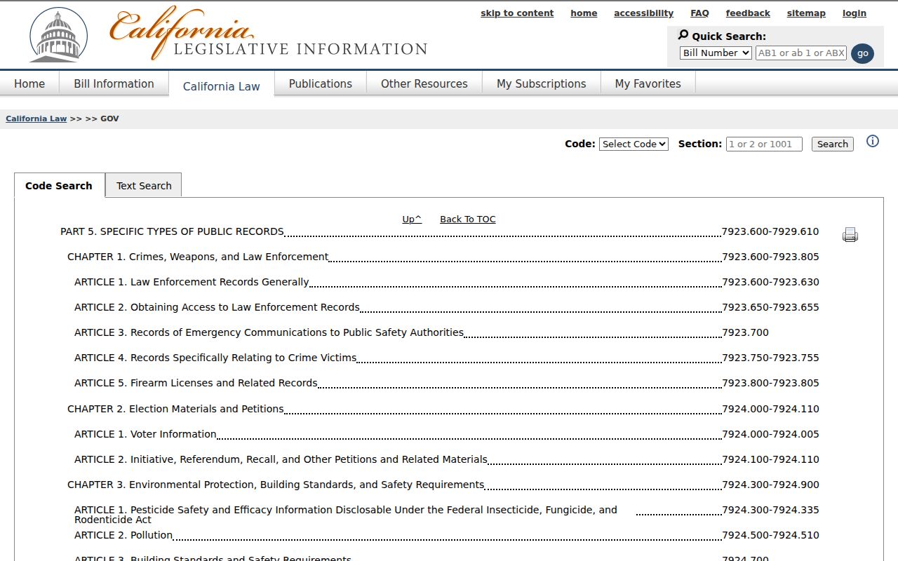
The image is a reference for lawful records access, not permission to turn a public filing into a contact list.
Lawful use. Use a Corcoran neighbor lookup for block awareness, genealogy, reconnecting, or a specific civic question. An address is not consent to follow, threaten, impersonate, or harass anyone. California Penal Code sections 646.9, 422, and 528.5, along with Code of Civil Procedure section 527.6, set serious limits.
Note: A block map shows a property pattern, not a complete list of the people who live at each address.